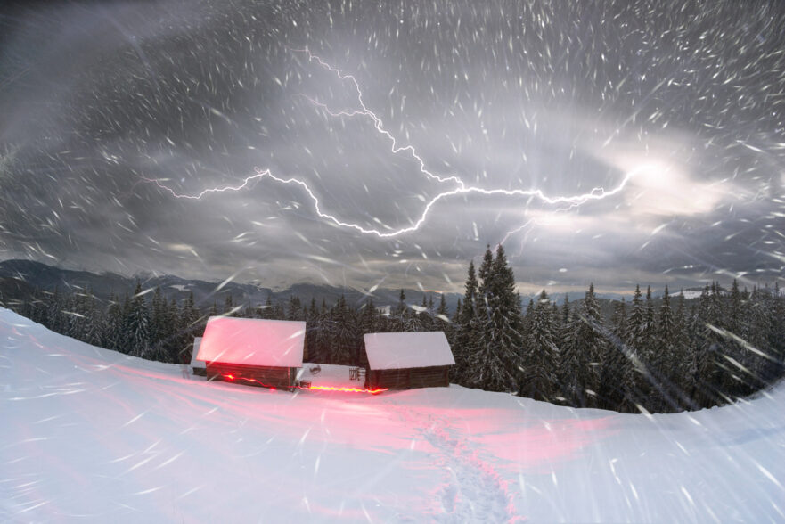
Thundersnow—a term that might sound like something out of a fantasy novel—is a rare meteorological event that captivates and surprises those fortunate enough to witness it. Unlike the more common occurrence of thunderstorms in the warmer months, thundersnow brings the spectacle of lightning and thunder to the winter landscape.
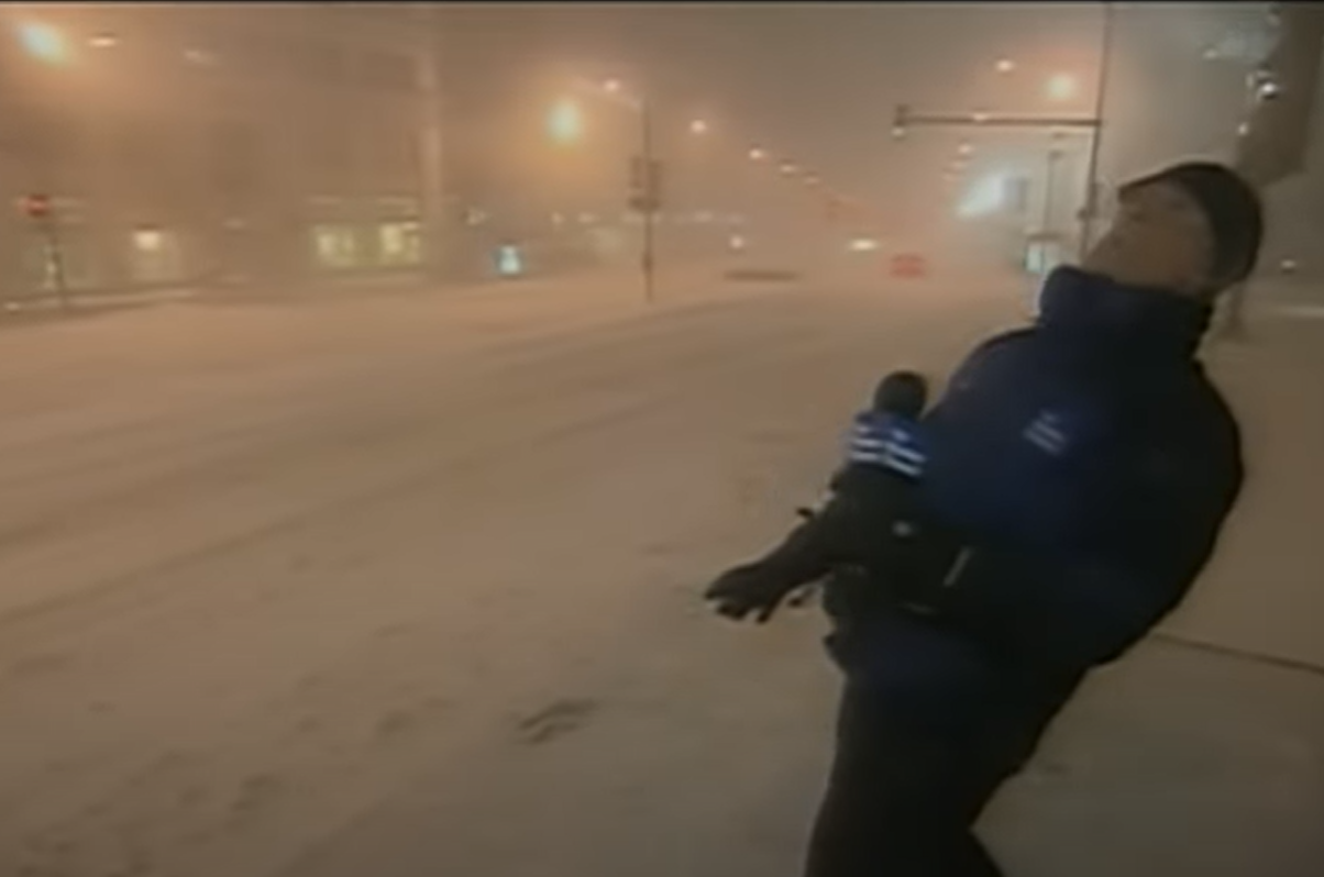
During one notable event in 2011, meteorologist Jim Cantore from The Weather Channel animatedly reacted to this rare event. The televised reaction brought thundersnow into the spotlight, particularly in Chicago. Let’s delve deeper into this fascinating phenomenon to understand what it is and what causes it.
What is Thundersnow?
To grasp thundersnow, it’s essential first to comprehend the dynamics of thunderstorms and snowstorms. Typically, a summer thunderstorm is characterized by towering clouds that extend upwards of 40,000 feet or more. These are fueled by warm, moist air rising from the Earth’s surface. In contrast, a conventional snowstorm is often associated with flatter clouds, typically below 20,000 feet. This limits the vertical movements characteristic of thunderstorms.
However, when certain conditions align, such as in the case of lake-effect snow, unique cloud formations emerge. As air passes over a warm body of water, like a lake, it creates clouds with a more elongated shape. That shape features protrusions that extend above the main cloud mass. These upward bumps are coupled with cooling winds at higher altitudes. This contributes to instability within the atmosphere. Under the right circumstances, the interaction between snowflakes and small hailstones can generate electrical charges, leading to lightning and thunder within the snowstorm.
During the notable 2011 thundersnow event in Chicago, lightning bolts were observed arcing upwards between the city’s skyscrapers and the clouds—an uncommon occurrence. Typically, lightning during thundersnow events does not reach the ground, making such sightings exceedingly rare.
Snowfall Intensity and Accumulation
One defining characteristic of thundersnow is its tendency to produce significant snow accumulation within a relatively short period. Research conducted by the University of Missouri suggests that within a 70-mile radius of a thundersnow event, snowfall accumulation of around 6 inches is common. Moreover, snowfall rates during thundersnow can be notably high, often exceeding two inches per hour.
These intense snowfall rates are coupled with high winds commonly associated with thundersnow. This can lead to hazardous driving conditions and significant disruptions to daily life. Sometimes these conditions can increase into a blizzard. In such cases, the high winds often drown out the sound of the thundersnow.
Can I See Lightning During a Thunder Snow Storm?
Unfortunately, it is unlikely that you will see lightning during a thundersnow storm.
While witnessing lightning during a thundersnow storm is a rare and awe-inspiring sight, it’s an experience reserved for a select few. Thundersnow events are relatively infrequent, with an estimated six occurrences annually in the United States. The best chances of experiencing thundersnow are typically found in specific regions, such as Wolf Creek Pass, Colorado, and the eastern shore of Lake Ontario. Due to the unique environment of the Chicago area, these rare events can also be experienced there.
However, even if you find yourself in the vicinity of a thundersnow event, the likelihood of witnessing lightning firsthand is slim. Unlike summer thunderstorms, where the darkened skies provide a stark backdrop for lightning displays, thundersnow occurs against a backdrop of bright, white snow. This, coupled with the muffling effect of falling snow on thunder, makes it challenging to perceive lightning during a thundersnow event visually.
An Extraordinary Spectacle
As we embrace the wonders of winter weather, let us marvel at the extraordinary spectacle of thundersnow. It is a testament to the power and beauty of nature.
Thundersnow stands as a captivating and rare meteorological phenomenon, blending the elements of thunderstorms with the wintry landscape of snowfall. While witnessing lightning during a thundersnow event remains a privilege reserved for the fortunate few, the awe-inspiring nature of this phenomenon continues to fascinate and intrigue weather enthusiasts and casual observers alike.
The Brancato Difference
So why is a snow removal company discussing thundersnow? At Brancato Snow and Ice Management, we have a passion for all things snow-related. Beyond our expertise in snow plowing, we monitor winter weather conditions closely. We are committed to communicating effectively with our clients. This allows us to be proactive to your needs.
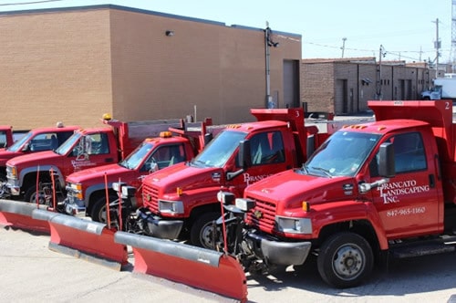
If you’re a business owner in the greater Chicago area in need of reliable snow removal services, consider partnering with Brancato Snow and Ice Management to keep your premises safe and accessible during the winter months.
Give us a call today and find out how we can help your business get through the next ice or snow storm. Our knowledgeable sales team can walk you through it. Our initial consultation and quote is completely free!